Geography


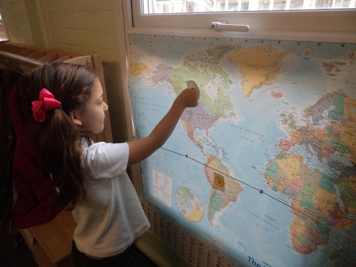
Geography plays a crucial role in understanding our world. We follow the National Curriculum programme of study for this subject and inspire our young geographers by teaching them to communicate knowledge about the world, the United Kingdom and their own locality. They are taught to name and locate the world’s seven continents and five oceans using world maps, globes and Google Earth. They can apply their locational knowledge to where they live in relation to the world and in relation to the equator using simple compass language (north, east, south, west and near and far, left and right). They compare similarities and differences to life in hot and cold countries of the world in relation to that of their own and also explore seasonal and daily weather patterns in England with that of Kenya and the Arctic. They use appropriate geographical language to describe the key human and physical features of each location.
Our geographical topics
-
Going on safari in Kenya, Africa. This is linked to the text Lila and the Secret of Rain (The power of reading). The children write an information text about Kenya.
-
A study of the United Kingdom and their own locality. The children write a postcard from a famous landmark in the UK to their Co-Heads as well as posting it.
-
A study of life in the Arctic. They will look at the climate, physical features and the animals that live in this Polar region and reason about its climate in relation to the equator. Also, they will observe and learn about cities and towns in the Arctic such as Murmansk, Norilsk, Tromso, Barrow and Sisimiut. The children will then choose and write about one city or town as part of their non-chronological report that they will compare with their own locality.
-
In addition to allocated learning time children can often be seen using maps and globes related to their own experiences. For example, where they have been on holiday, where their parents originate from and where their daily fruit comes from.
-
Class and year group challenges are another way we enhance their geographical knowledge and skills.
Geographical skills and fieldwork
-
The children develop mapping skills by use of aerial photographs and then go on to plan and devise a simple map of their classroom and local area using basic symbols in a key.
-
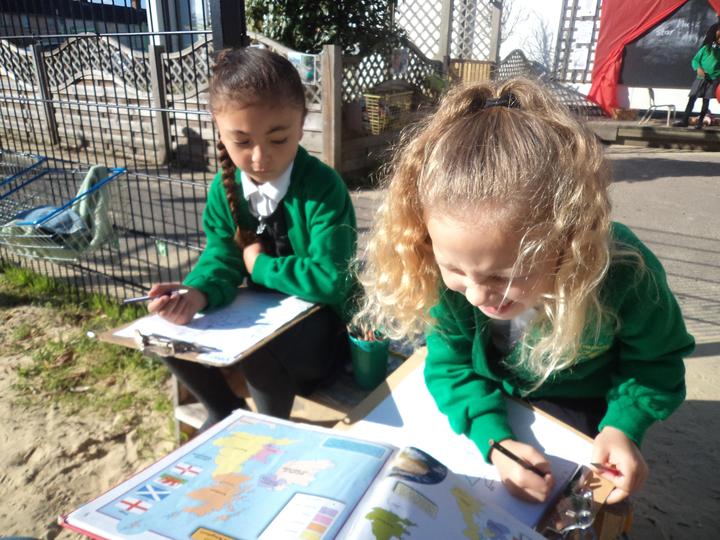
The children carry out simple fieldwork and observational skills of their school and its grounds and the key human and physical features of its surrounding environment by exploring, photographing and sketching to give them real life experiences.
